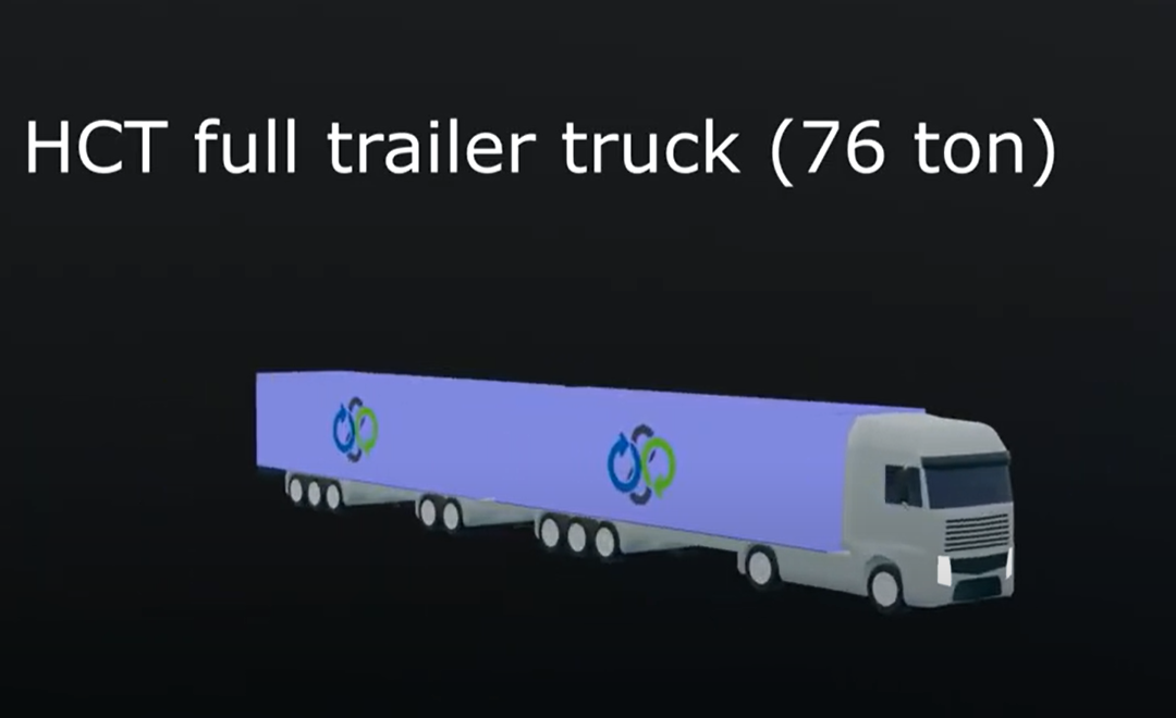
Turku University of Applied Sciences has done GIS mapping as well as visualized bottlenecks of the E18 section in Finland, thus helping to find out exactly where these places are on the road and what kind of problems need to be solved.
The animation identifies problems and shows them with symbols such as accessibility, slow driving, intense traffic flow, lack of route guidance, roadwork, as well as traffic lights, etc.
The video clearly shows bottlenecks and analyzes the situation in each place in more detail. Another major problem that should be tackled in a complex way by the various parties coming together, but above all by the public administration, is the lack of services, including resting and stopping areas for heavy vehicles.
The problem has been known for a long time and over the years the situation has gradually deteriorated. At the same time, the amount of heavy traffic has increased over the past four years by slightly less than 10% on the main thoroughfares and, accordingly, the number of users of break points during the night by almost 20%. Resting areas are limited on the highway network and there have been increasing restrictions on heavy traffic parking on the street networks. Now when amounts of economy transportations are growing the availability of heavy traffic resting areas and driver services connected to these areas has become an increasingly big problem.
Read the resting area report in Northern Corridor Here (.pdf)


